Auburn Hills - Floodplain Reclamation

Auburn Hills is a single-family development (approximately 840 lots) located in the City of McKinney near the intersection of Wilson Creek and U.S. Highway 380. The project involved approximately 45 acres of floodplain reclamation between Wilson Creek and Wilson Creek Tributary 11 along the north side of U.S. Highway 380.
The first step was an iterative floodplain reclamation feasibility analysis to determine where and how much floodplain could realistically be reclaimed given the city's and FEMA's criteria as well as the developer's desired land plan. Next, the design was documented via a flood study and subsequent coordination with the City of McKinney. After construction, we prepared an as-built LOMR for approval through McKinney and FEMA.
The project design & constraints involved FEMA floodway, valley storage mitigation, a dam breach analysis and a hydrologic timing analysis. A large pond was provided near the intersection of Wilson Creek and U.S. 380 to provide the necessary valley storage in the post-project condition, and it also provides an amenity at the entry to the neighborhood.
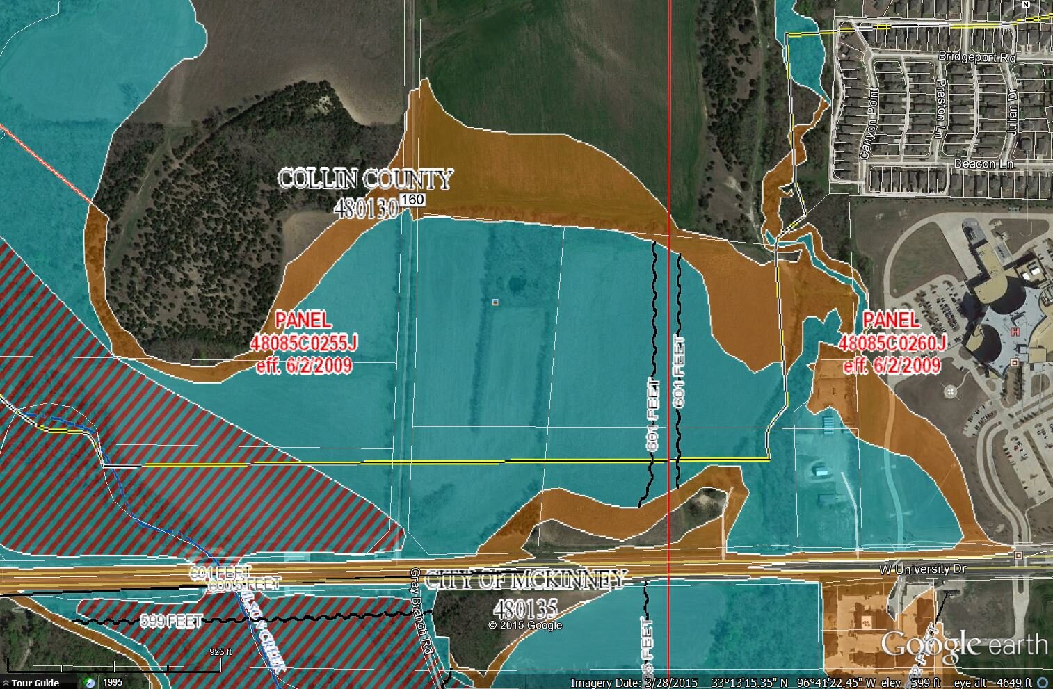
Before Floodplain Reclamation
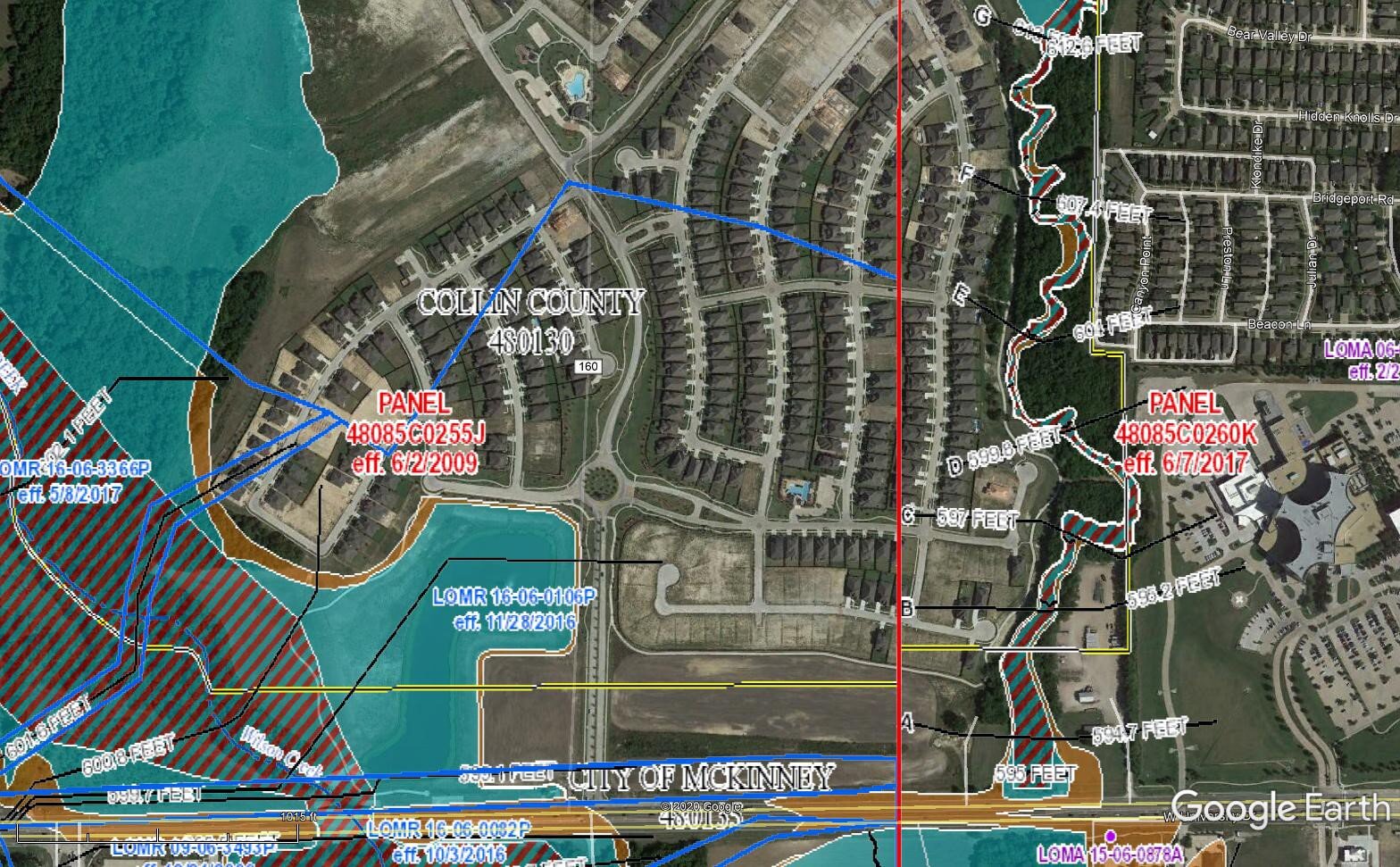
After 45 acres of Floodplain Reclamation